← All solutions
UPMaps
Mapping and territorial intelligence
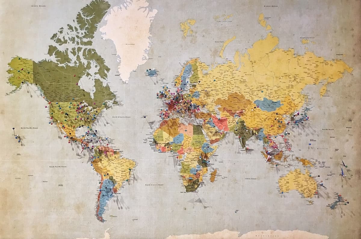
Knowing where the vehicles, merchants and service points are — and what that says about the territory. UPMaps serves equally to optimise a round, carve out franchise zones or inform a development project.
What it does
- Geolocation of users, drivers, vehicles and service points
- Mapping of activity zones
- Route optimisation
- Territorial sectorisation and franchise zones
- Demand catchment analysis
- Infrastructure mapping
- Urban flows and real-time traffic
Who it is for
Local authoritiesOperatorsLogistics operatorsDevelopers
Other solutions
Application UPJUNOO PRO
Mobility — ride-hailing, delivery, rental, freight
Explore →UPJUNOO Marchand
Digital commerce
Explore →UPPAY / Wallet
Electronic payment and traceability
Explore →UPCONNECT
Connectivity, Internet and broadcasting
Explore →ONE SKY
Earth observation and spatial data
Explore →UPData
Data, dashboards and decision support
Explore →Portail UPJUNOO!
Unified ecosystem portal
Explore →